

GIS MAPPING
CONTACT INFORMATION
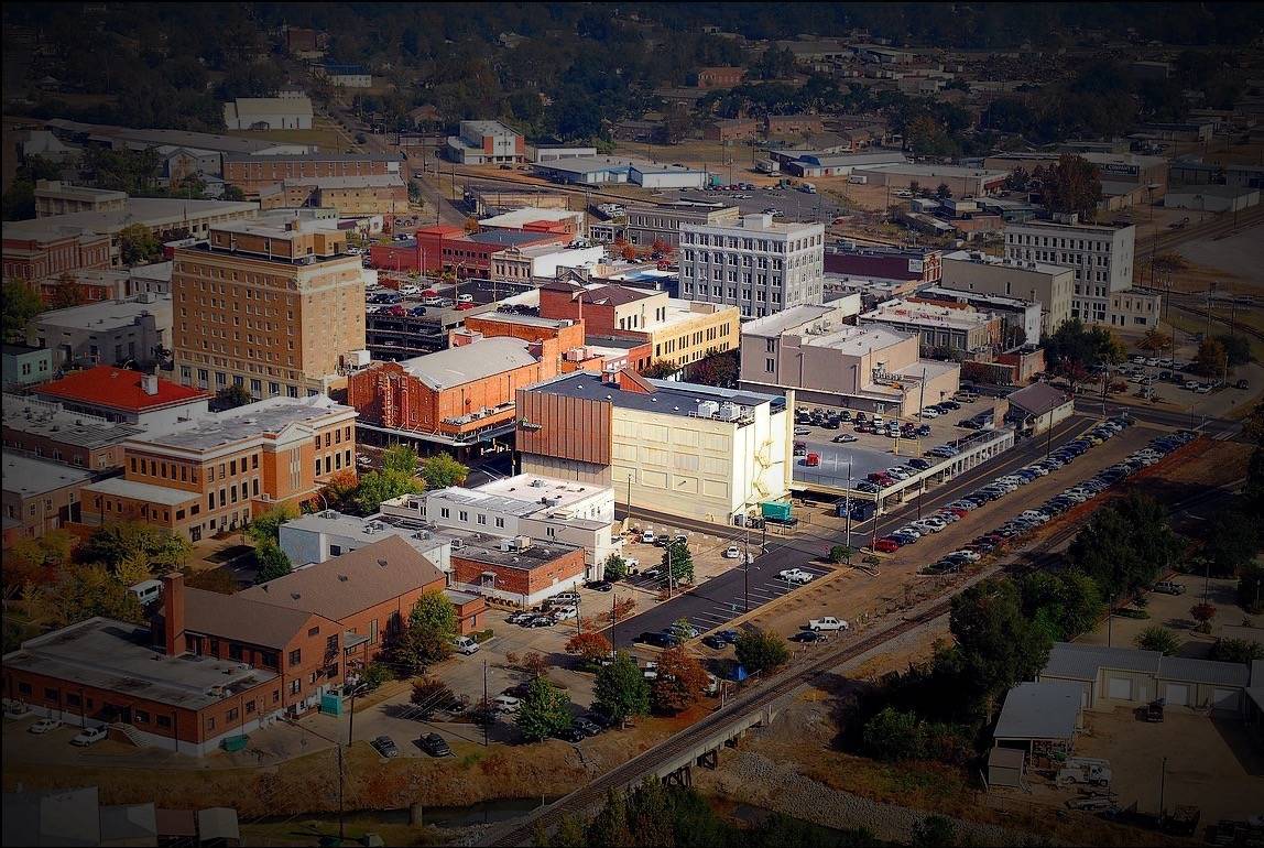
Located at Hattiesburg Train Depot/Hattiesburg Intermodal Facility, the office is open Monday through Friday, between the hours of 8 a.m. and 5 p.m.
308 Newman Street
Post Office Box 1898
Hattiesburg, MS 39403-1898
601-545-6220
The division of Geographic Information Systems provides mapping and geographic analysis to all city departments and the citizens of Hattiesburg. GIS activities focus principally on:
- Collecting and maintaining spatial data from around the Hattiesburg urbanized area
- Providing analysis for all city departments by showing geographic relationships through tables, charts, and maps
- Maintaining transportation data through the HFPL-MPO for the urbanized area for the travel demand model
- Helping other city departments in their effort to utilize GIS technology to its greatest potential
WHAT IS GIS?
 GIS is more than making maps. It links “information to location” and provides a powerful tool to visualize the relationship between layers of geographic information. A GIS (Geographic Information System) is a computer system capable of assembling, storing, manipulating, and displaying geographically referenced information, (i.e. data identified according to their locations). Simply put, a GIS combines layers of information about a place to give you a better understanding of that place. Some common examples would include: finding the best location for a new store, analyzing environmental damage, viewing similar crimes in a city to detect a pattern, etc.
GIS is a technology that links geographic information (features) with descriptive information (attributes). GIS can be described as having multiple layers of data assembled into a digital map. GIS is used to visualize, explore, query, edit, and analyze geographic information.
MAP REQUESTS
Map requests must be submitted a minimum of one week prior to the date needed. Because the volume of our work is varied, this does not guarantee that we will be able to complete the map within your needed time frame.
Base maps will include the following features: streets, city limits, wards, and water bodies. Any other features you would like shown on the map should be requested on this form.
Please contact us for any custom sized maps or if your quantity exceeds more than 25 copies.
The GIS Division will compose a draft that will be presented for evaluation to determine if it will suit the needs of the request. If changes are to be made, please allow us up to one full day to be able to make appropriate changes. We will then deliver your request in the required format. Payments must be made at the city clerk’s office (2nd floor, City Hall). In order to receive your requested map, the receipt AND this request form with the clerk’s initials must be presented.